
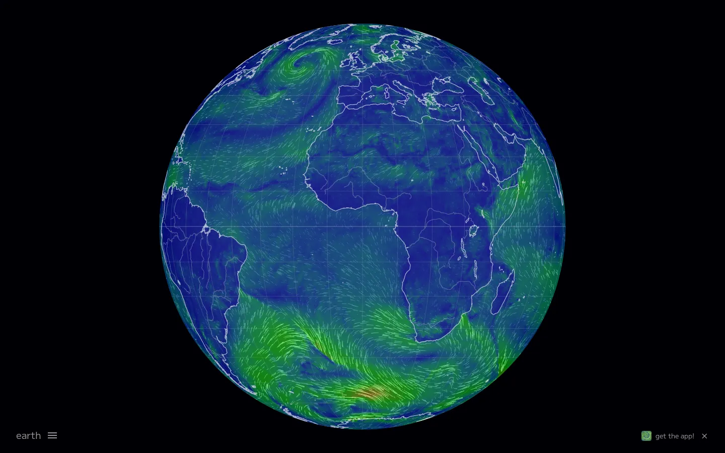
Earth Nullschool turns forecast and environmental datasets into flowing particles wrapped around an interactive planet.
What is Earth Nullschool?
Earth Nullschool makes invisible systems visible. Wind streams curve around the globe, storms become organized spirals, and ocean or air layers can be changed from a compact control panel. Click anywhere to inspect values at that point. The visualization is dense with options, but the default view already communicates something powerful: the atmosphere is not a set of isolated weather icons but one continuous moving system.
Why we picked it
It is one of the clearest examples of data becoming more understandable through motion and spatial context. It rewards casual awe and serious exploration equally.
How to get the most from it
Start by finding your location, then zoom out and follow the surrounding wind. Open the Earth menu to switch altitude, overlay, projection, or ocean mode.
Good to know
The site is information-rich and works best on a larger screen. It is a visualization, not an official emergency-warning source.
Open Earth NullschoolMore like this
The Pudding

Visual essays that use code, data, and interaction to explain culture unusually well.
The True Size Of…

Drag countries around the map and watch familiar size comparisons fall apart.
MapCrunch

Drop into a random street-level view somewhere in the world and figure out where you landed.
Submarine Cable Map

The internet’s underwater wiring diagram, stretching from shore to shore.