
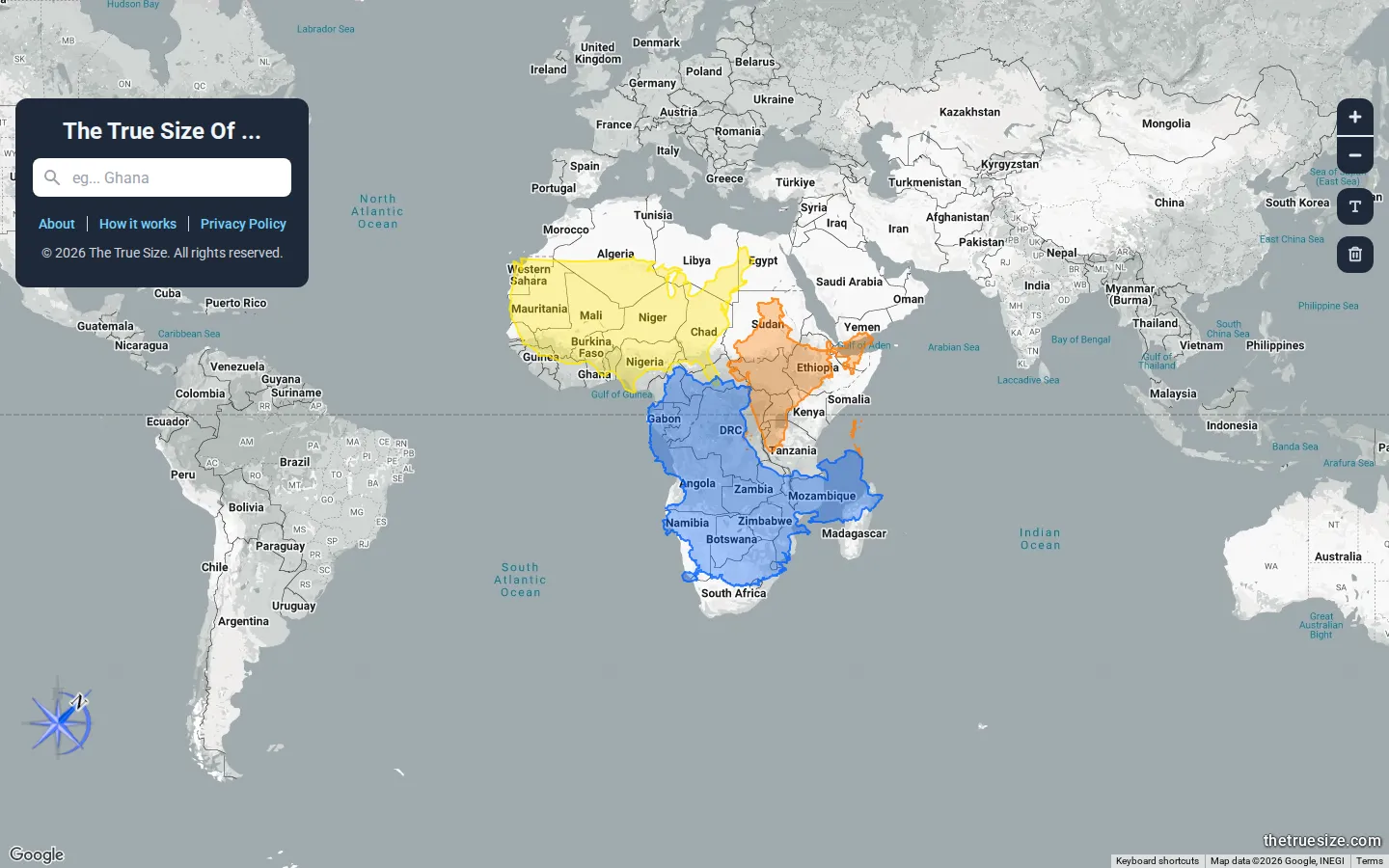
The True Size Of… demonstrates map-projection distortion by letting you move a country's outline to a different latitude.
What is The True Size Of…?
Flat world maps distort area, especially toward the poles. The True Size Of… makes that fact interactive: search for a country, then drag its outline north, south, or across an ocean. The shape resizes as it moves, revealing comparisons that the default map hides. A concept that normally requires a projection lecture becomes obvious after one trip between Greenland and the equator.
Why we picked it
It is a nearly perfect explanatory tool. One direct manipulation produces the lesson, and curiosity immediately suggests the next comparison.
How to get the most from it
Begin with Greenland, Russia, or a country near the equator. Drag it across several latitudes, then compare two places you previously imagined as similar in size.
Good to know
Country boundaries and labels are for visualization and may not represent every disputed territory or political position. The main subject is projection distortion.
Open The True Size Of…More like this
The Pudding

Visual essays that use code, data, and interaction to explain culture unusually well.
Earth Nullschool

A living globe of wind, weather, ocean currents, and atmospheric motion.
MapCrunch

Drop into a random street-level view somewhere in the world and figure out where you landed.
Submarine Cable Map

The internet’s underwater wiring diagram, stretching from shore to shore.